
Pictures & Photographs
|
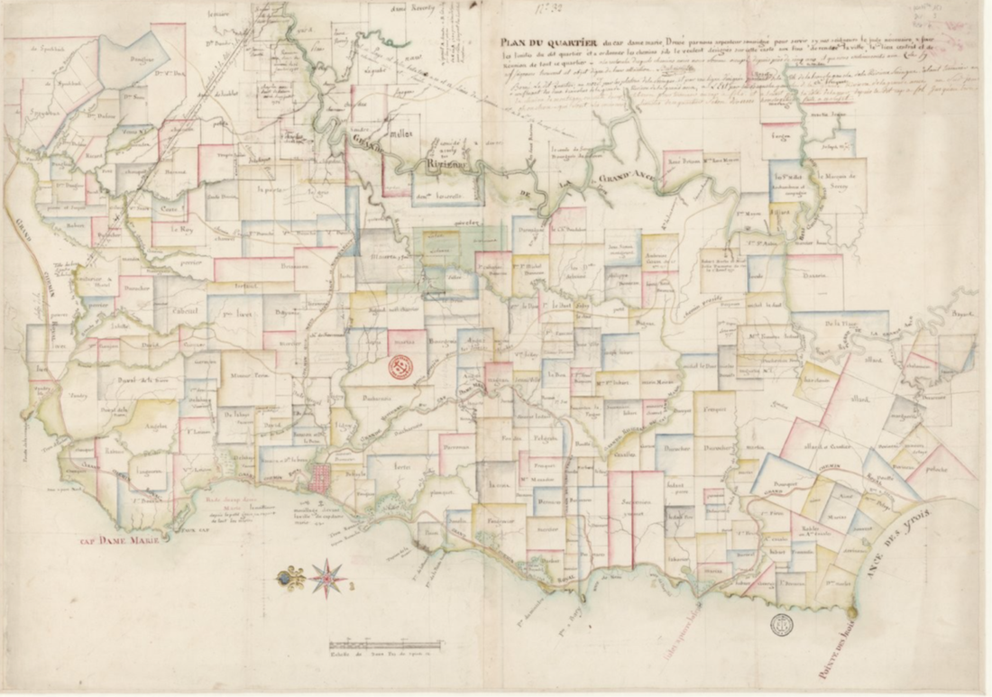
Incredible map of the plantations near Dame Marie from 1771 showing just how built up the area was. Very difficult to see - click here for a larger image - but the Mercier and Fongravier plantations appear on it. This is the map I had the rebel leader looking at as he "imagines the pale pinks and greens, blues and yellows of the surrounding plantations turning to red as the rebellion spreads out."
|
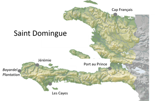
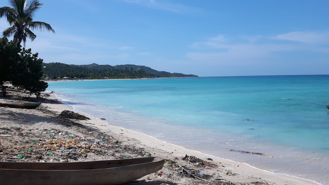
The beach of the Bay D'Airdelles (Bayardel). In the 18th century a road ran along the beach but now the road is inland on the other side of the swamp.
|
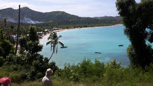
A view of the Bay D'Airdelles from the top of a hill where the plantation house might have stood.
|
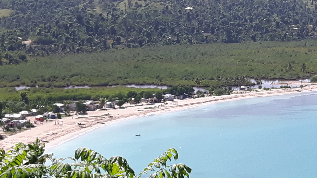
A view of the swamp and the river cutting through it, with some houses of the village of Baryadel.
|
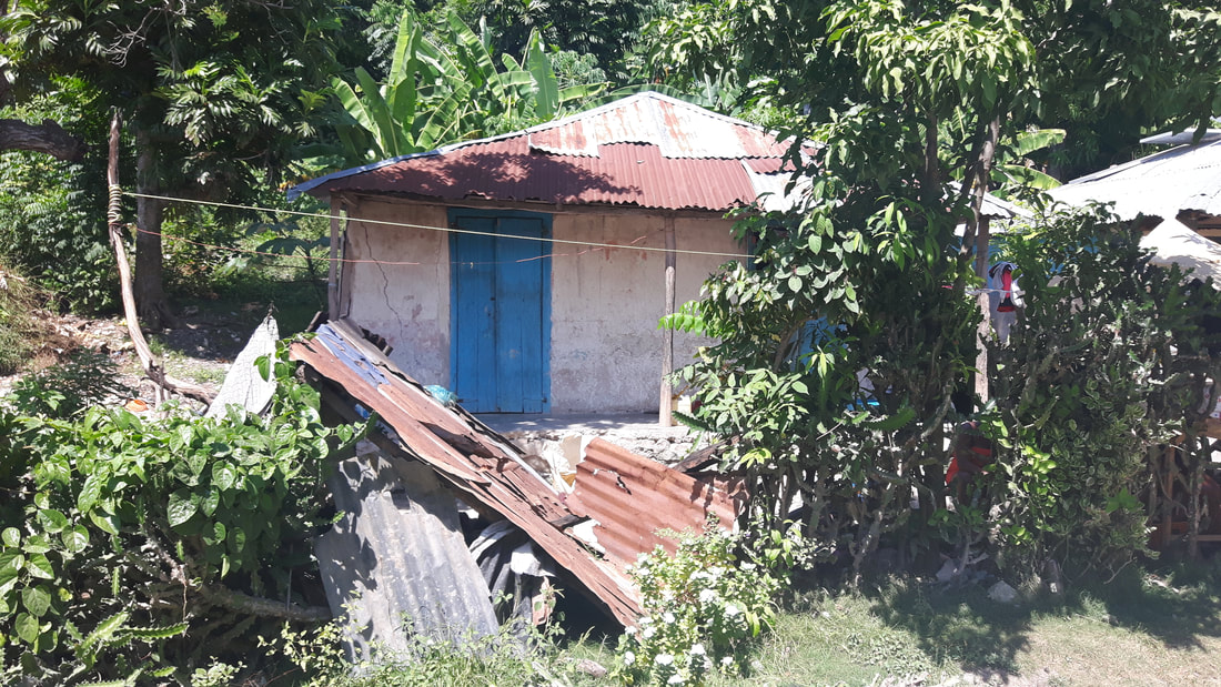
Old house in the village of Baryadel.
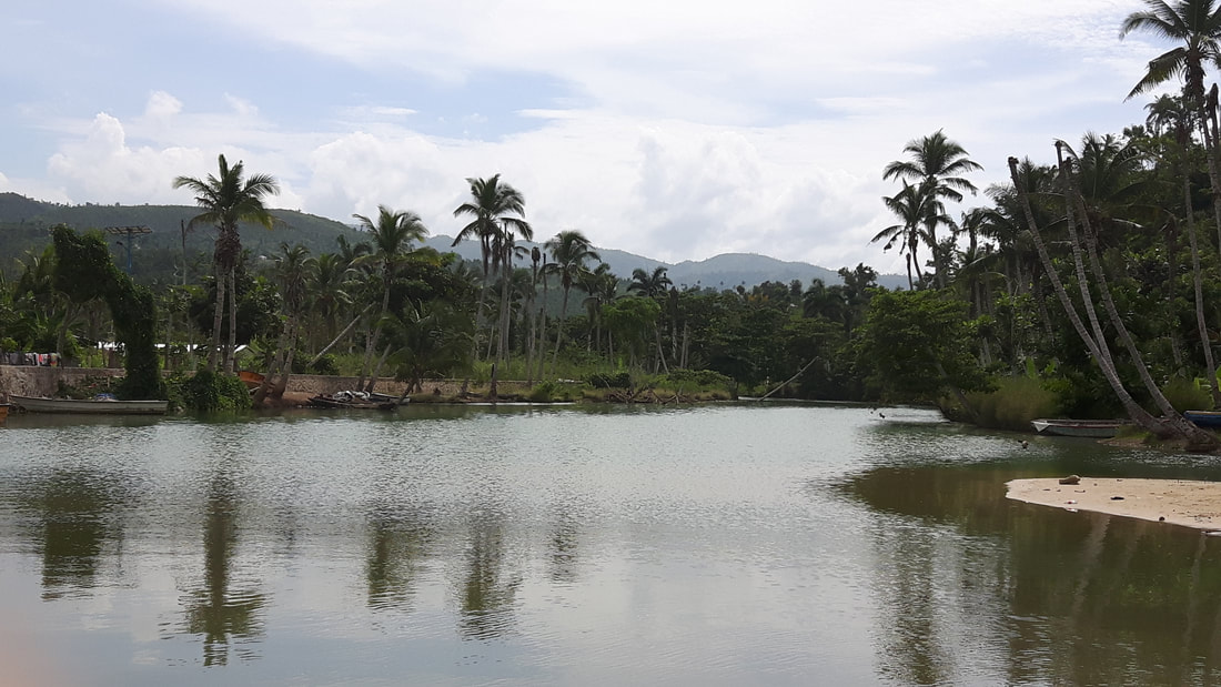
River emptying into the sea at the little town of Abricots (Apricots). The very first image I had when thinking about this story was of a girl in a white dress, floating on a dark creepy river, surrounded by hate and eyes, watching her...
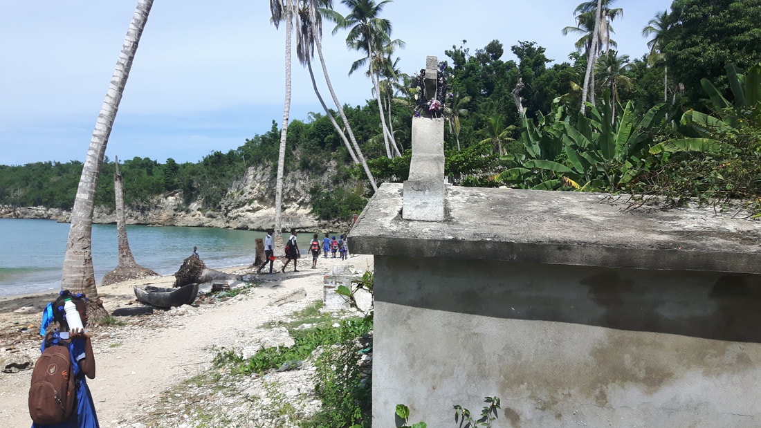
The beach at Abricots.
|
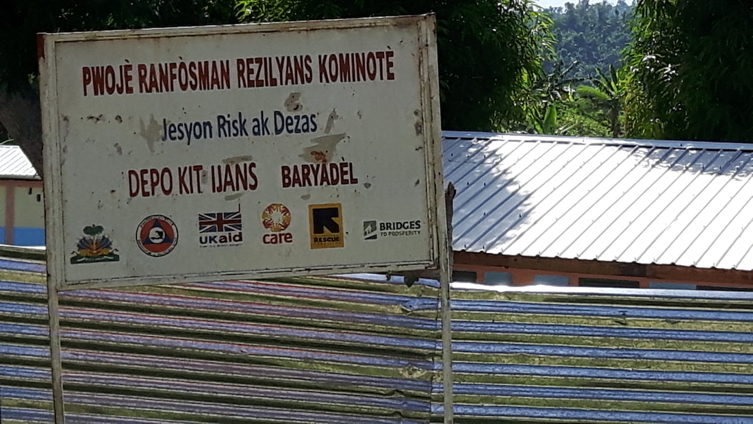
A sign in Creole with the village of Baryadel mentioned - I couldn't find it on any modern maps and was using 18th century ones to find the location of the village / plantation, so seeing this sign was very cool and confirmed I was in the right place!
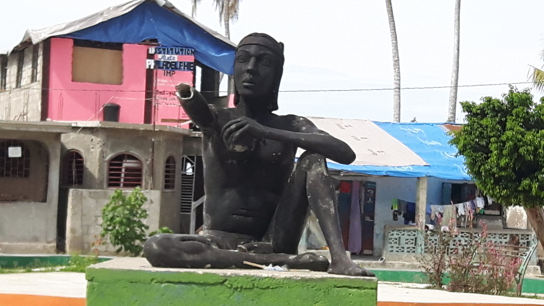
Statue of the one-armed slave Macandal, the first rebel slave, in the town square of Abricots
|
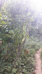
Wild coffee bush near Baryadel. Coffee is still grown in the region by smallholders.
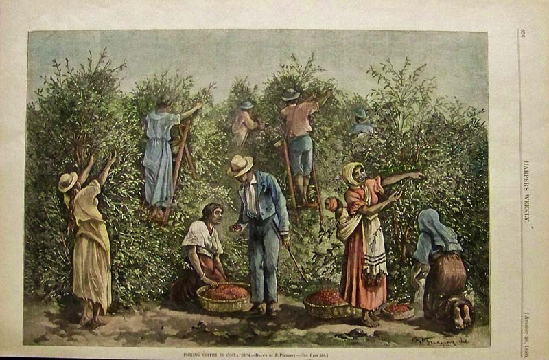
Harvesting coffee in the 18th century
|
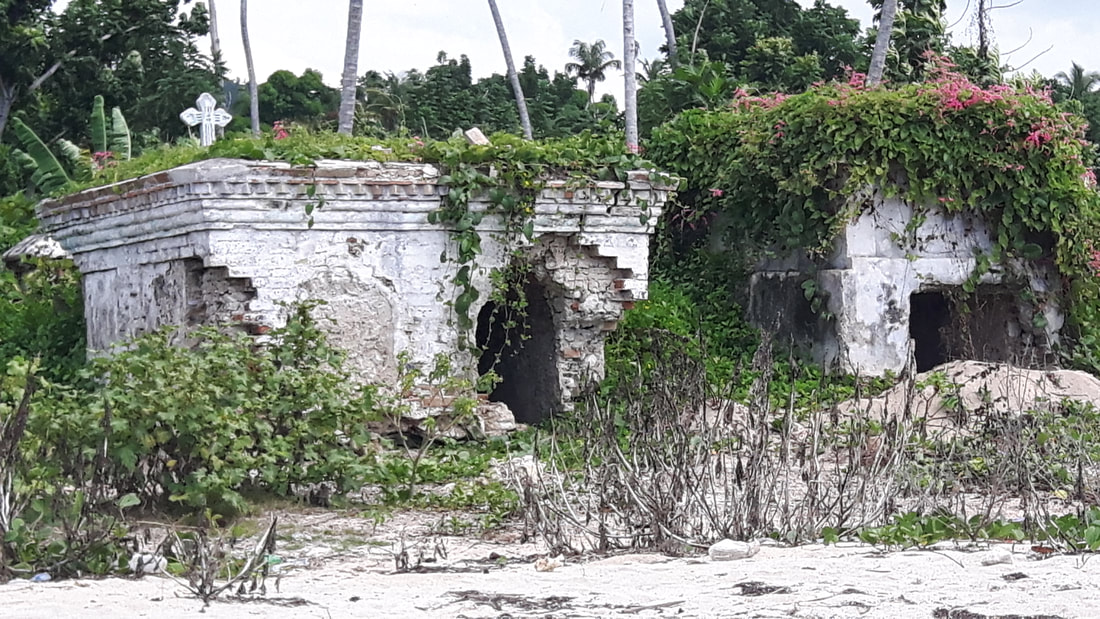
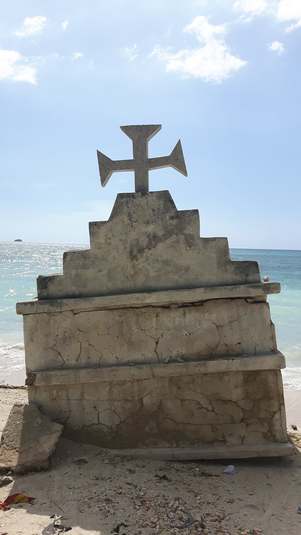
I love old cemeteries and wow, Haiti has so many wonderful ones. Many on beaches. Here are some images from one we found on the western coast near Dame Marie. Impossible to tell the age of the tombs, but they felt and looked so old.
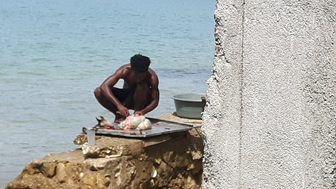
And finally, goat being prepared for lunch at a little restaurant in Abricots! At least it was fresh...
|
|